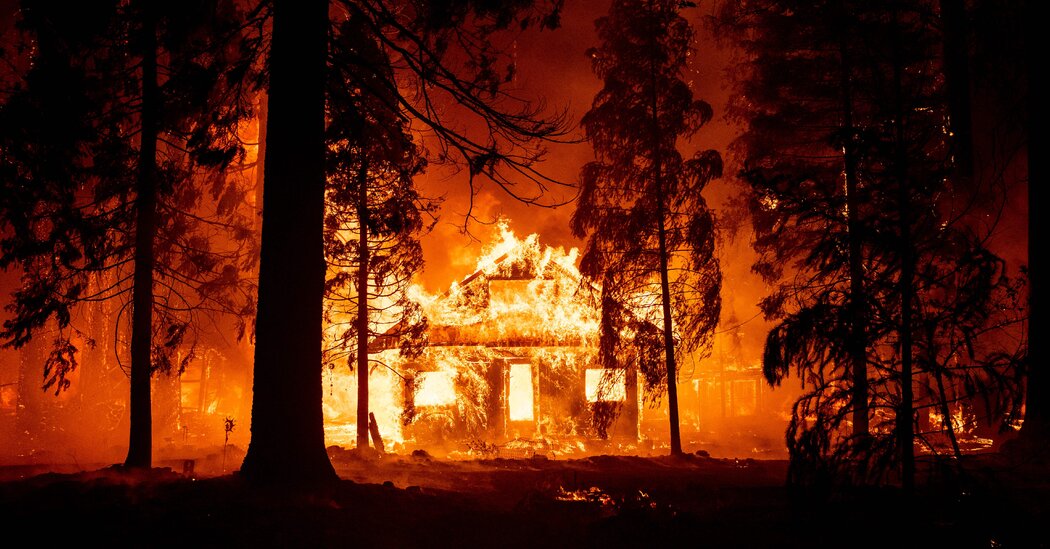
In recent decades, fast-growing blazes were responsible for an outsize share of fire-related devastation, scientists found using satellite data.
Wildfires aren’t just tearing through larger swaths of the American West. They’re spreading more quickly, too.
A team of researchers looked at NASA satellite data on 60,000 wildfires in the contiguous United States between 2001 and 2020. After classifying each blaze by the most it grew in a single day, the scientists found that these growth rates had increased over time in much of the West, and California in particular.
Their study, published Thursday in the journal Science, also found that the fastest-growing infernos were responsible for a huge share of the devastation. The speediest 2.7 percent of blazes accounted for almost 80 percent of structures destroyed, two-thirds of fatalities and more than 60 percent of the money spent on fire suppression, the researchers found.
When it comes to wildfire threats, “we’ve been so focused on size,” said Jennifer Balch, the study’s lead author and an associate professor of geography at the University of Colorado Boulder. “But what we really need to focus on is speed.”
She and her colleagues’ findings highlight a key fact about the West’s worsening wildfire problem: The blazes that are most ruinous to homes and communities aren’t always the ones that burn the biggest areas. Like last year’s deadly wildfire in Maui, for instance. Or the 2021 Marshall fire in Colorado.
Dr. Balch lived through that one. The flames raced through drought-stricken neighborhoods near Boulder with the help of 110-mile-per-hour winds. “At the end of the day, it was a very tiny fire,” she said. “Yet it burned through over 1,000 homes.”
