Hurricanes typically weaken over land. But if the ground is already wet from earlier rains, storms can receive an extra jolt that keeps them churning.
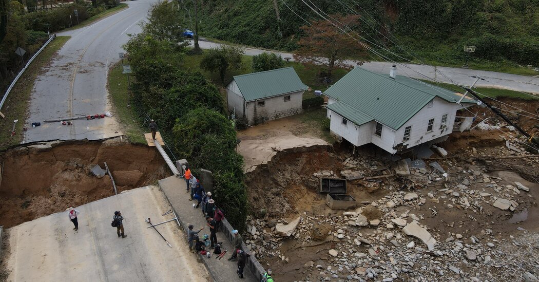
As rescue efforts continue across the Southeast after Hurricane Helene, scientists are starting to zero in on how the storm was able to cause devastation so far from the coasts, in places like western North Carolina that are less accustomed to hurricanes’ fury.
For scientists, Helene is 2024’s Katrina, a storm that will be studied for years to come, said Dev Niyogi, an earth and planetary sciences professor at the University of Texas at Austin. Hurricane Katrina ravaged New Orleans and the surrounding region in 2005, and it remains among the costliest and deadliest hurricanes in U.S. history.
Helene roared ashore in Florida last Thursday as a Category 4 hurricane then charged hundreds of miles inland, dumping trillions of gallons of rain along the way. The storm’s winds weakened over land, as hurricanes usually do because they no longer have access to the warm ocean waters that power them.
In Helene’s case, though, precursor rains had left the ground damp from Atlanta through the southern Appalachian region. This moisture could have given the storm an extra jolt of energy, particularly after a summer as hot as this year’s, Dr. Niyogi said.
“If you have wet and hot soil, then we are really priming the land” to juice up a storm, he said.
Helene is the latest in a string of extreme rain and flood events that have inflicted misery across the globe this year.