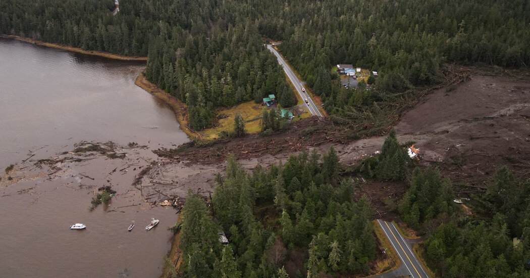
A new federal database helps users determine the likelihood of their community experiencing a landslide.
Almost 44 percent of the United States could experience a landslide, according to new data from government scientists.
Some of those potential landslides could be catastrophic, according to researchers, but no one knows when they could happen.
“The best protection is knowledge,” said Benjamin Mirus, a research geologist with the United States Geological Survey, the federal agency that created the interactive risk map. “Knowing what a landslide is and how it might impact you is the best first step toward preparation.”
Last month, one person was killed and three were injured after a sudden slide in Ketchikan, Alaska. The map was part of a directive to develop a federal strategy to deal with the fatal hazard under the 2021 National Landslide Preparedness Act.
The map is based on newly compiled data that tracked nearly one million landslides observed through high-resolution maps, ancient landslide deposits and media reports showing roads or homes that had been affected by landslides.
Now, residents can input their address and figure out their own susceptibility. The risk at a given location is shown with a color gradient in which yellow means low susceptibility and red means high susceptibility.
